The online job posting was cryptic. A driver was needed, that much Joe McCallen knew. The mission? That was secret.
When he stepped inside the tricked out Honda HR-V — outfitted with a nine-foot turret on the roof, a customized screen covering the center console and a back seat filled with computers — Mr. McCallen realized he was helping Google map every corner of the world.
In his Google Street View car, Mr. McCallen has driven 100,000 miles in three years, patrolling Midwest and East Coast roads. He drives from just after sunrise to just before sunset, while cameras on the roof take photos that get spliced together into panoramic images. Because of him and countless other drivers, anyone in the world can log onto Google Maps and travel virtually along 12 million miles of roads in 110 countries. It’s the closest thing humans have to teleportation.
“I love doing it,” Mr. McCallen, 63, of Tampa Bay, said. “The places you go to, the people you see. Stuff you just can’t write.”
When he accepted a lucrative severance package from an asset management role in his 50s, he took a couple years off. Then he tried out a few other finance jobs. But he wanted to do something completely different. Driving for Google, he has stopped for moose, seen an unexpected showing of the Northern Lights in Maine and struck up deep conversations with strangers at rural diners.
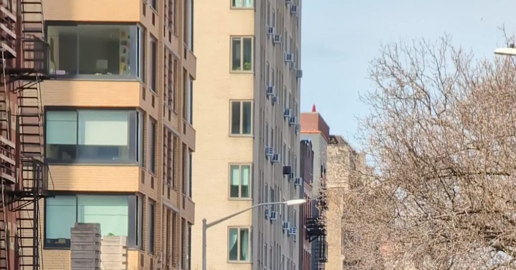
On a Friday morning in March, Mr. McCallen let a reporter tag along for a ride through a 30-block area in the West Village. Nearly every pedestrian who walked by took photos, waved, pointed or nodded at the car like they had just seen a minor celebrity. (Not Justin Bieber or Rihanna level. More similar to that time I saw Josh Hutcherson in FiDi; an “isn’t that that guy from that thing?” double take.)
The first Street View model, which launched in 2007, was cobbled together into a bulky black top hat-like fixture and strapped onto a van and driven around Mountain View, Calif. Engineers fixed bugs and solved hardware errors with makeshift fixes straight out of the television show “Silicon Valley.”
To prevent condensation from building up in the cameras, drivers covered their cameras with socks at night, Ethan Russell, a senior director of Google Maps, said. Some drivers forgot to take the socks off the next morning and traveled for hours with the camera only capturing a cotton-polyester blend.
Eighteen years later, Street View is no longer relying on socks. Planes with Google’s cameras on the bottom are flying overhead. Satellites assist. People are able to submit their own images to Street View, essentially turning anyone with a smartphone into a Street View driver. Street View cameras have captured Machu Picchu, the Great Barrier Reef and Antarctica.
Google’s sleek new camera model will allow any car with a roof rack to become a Street View car. The cars will no longer need to be transported overseas. Looking to the future, Mr. Russell and his team are focused on expanding Street View’s capabilities with artificial intelligence, which has long helped blur faces, license plates and addresses on the platform. Soon, information from a business’s storefront (such as its hours or its phone number) could be gleaned from Street View images and then appear in search engine results.
There are a couple drawbacks to the experience. Street View has faced privacy concerns. Drivers constantly stress about overpasses that threaten to clip the nine-foot-tall ostrich neck on their roof; “Arrested Development” got that right. And Mr. McCallen gets flipped off a lot.
On that warm Friday morning, Mr. McCallen dropped us off by the sidewalk and sped off to map his designated 30 blocks of the West Village. After that, he would drive back down to Florida to continue his quest to map the world. Mr. McCallen plans to sign up for another year working for Street View.
“For now, it’s perfect,” he said. “I’m flexible, and so I just go with the flow.”